
(UPDATE: March 20 at 5:18 am): Heavy rain, strong winds and a heightened risk of flooding and landslides are expected to make travel hazardous on several southern B.C. highways Friday as an atmospheric river continues to move across the region.
Environment Canada has issued rainfall warnings for the Coquihalla Highway between Hope and Merritt, Highway 3 through Allison Pass and the Trans-Canada Highway from Eagle Pass to Rogers Pass.
Rainfall totals of 50 to 80 mm are expected along the Coquihalla, with around 50 mm forecast for areas including the Fraser Canyon south of Boston Bar and Highway 3.
The agency said the heaviest rain is expected through midday before easing to showers later in the afternoon as a cold front moves through.
High freezing levels, ranging from 2,000 to 2,500 metres, mean rain will fall on existing snowpack, accelerating snowmelt and increasing runoff.
That combination raises the risk of localized flooding, particularly in low-lying areas and near rivers and creeks, while water pooling on roads and potential washouts could lead to travel delays.
⛔️ #BCHwy1 is CLOSED between #Revelstoke and #GoldenBC for avalanche control work.
— DriveBC (@DriveBC) March 20, 2026
ℹ️ More info: https://t.co/jGJvON0JiI pic.twitter.com/2y9EAo2897
Environment Canada also warned that saturated soils could trigger landslides, especially on steep slopes, in deforested areas or near recent burn scars.
Further east, 40 to 70 mm of rain is expected along the Trans-Canada Highway between Eagle Pass and Rogers Pass, adding to precipitation that has already fallen earlier this week.
Freezing levels in that region could climb as high as 2,600 metres, further contributing to snowmelt and runoff concerns.
In addition to heavy rain, strong winds are expected to develop across the Interior later Friday.
Wind warnings are in effect for the Coquihalla between Merritt and Kamloops and the Okanagan Connector, where southwesterly gusts of 70 to 90 km/h are forecast through the afternoon and into the evening.
The winds may push around high-profile vehicles and could lead to local power outages.
Conditions are expected to gradually improve later Friday as the rain tapers and winds ease, though unsettled weather is expected to continue into the weekend.
Separately, the Trans-Canada Highway between Revelstoke and Golden is closed this morning for avalanche control, with the shutdown stretching roughly 141 kilometres. The closure is expected to remain in place until 6 p.m. Friday.
Highway 3 over Kootenay Pass is also closed for avalanche control work, with the shutdown in effect from 6 a.m. until 9 a.m. Friday. An alternate route is available via Highway 3A and the Kootenay Lake ferry between Nelson and Creston.
(Original story: March 19 at 3:20 pm): As a blast of warm weather in the BC Interior has elevated the freezing level, it’s rain, not snow, expected for BC Interior mountain passes tonight.
Environment Canada (EC) has issued a rainfall warning for several major routes in the region, with the stormy weather expected to hit the Coquihalla (Hwy 5) the hardest.
According to EC, between 50-80 mm of “heavy rain” is expected on Hwy 5 between Hope and Merritt by Friday afternoon.
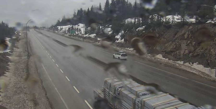
It’ll be around 50 mm for the Fraser Canyon (Hwy 1) south of Boston Bar and the Hope-Princeton (Hwy 3) through Manning Park and the Allison Pass.
There’s also a rainfall warning in place for the Trans-Canada Highway (Hwy 1) through Eagle Pass and Rogers Pass, but that section of highway is expected to be closed until Friday night for avalanche control.
The weather agency says the atmospheric river over southern BC is what will cause the downpour, with the heaviest rainfall in the forecast expected overnight and Friday morning.
“With freezing levels ranging from 2,000 to 2,500 metres, snowmelt from higher elevations may increase the impacts associated with this rainfall event,” the weather alert reads.
“Heavy rain on snow combined with mountain snow melt could lead to very enhanced responses in river systems and potential for flooding.”
EC warns of extensive water pooling on roads, with washouts possible, and an elevated risk of landslides due to saturation of soils.
Rain will taper off to a few showers Friday afternoon and freezing levels will drop as the cold front passes and temperatures dip again.
Following the heavy rain overnight, strong southwesterly winds with gusts up to 50-70 km/h are expected to develop Friday morning and persist throughout the day.


