


The most severe warning covers the Coquihalla Highway between Hope and Merritt, where forecasters say up to 60 centimetres of snow could fall by Thursday morning. Strong southwest winds gusting to 100 km/h are also expected overnight, which could create blizzard-like conditions and near-zero visibility in blowing snow.
The heavy snow is forecast to intensify Wednesday afternoon as a low pressure system moves into the region, followed by a sharp cold front Wednesday night that will bring stronger winds and heavier snowfall.
Environment Canada says conditions may improve slightly Thursday morning, though flurries and gusty winds are expected to continue.
Winter storm warnings have also been issued for Highway 3 between Hope and Princeton via Allison Pass and the Okanagan Connector between Merritt and Kelowna. Those routes could see around 10 cm of snow on the Connector and up to 25 cm along Highway 3, along with strong winds and blowing snow that may reduce visibility to near zero.
Meanwhile, a snowfall warning is in place for the Trans-Canada Highway between Eagle Pass and Rogers Pass, where 15 to 25 cm of snow is expected by Thursday morning along with wind gusts up to 60 km/h.
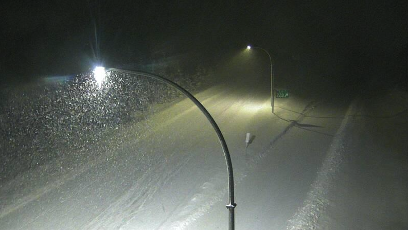
Environment Canada says travel across southern Interior mountain passes may become hazardous as conditions deteriorate quickly Wednesday evening and overnight. Motorists are urged to check DriveBC for the latest road conditions and ensure vehicles are equipped with winter tires or chains before travelling.
.JPG)


